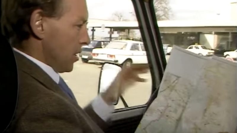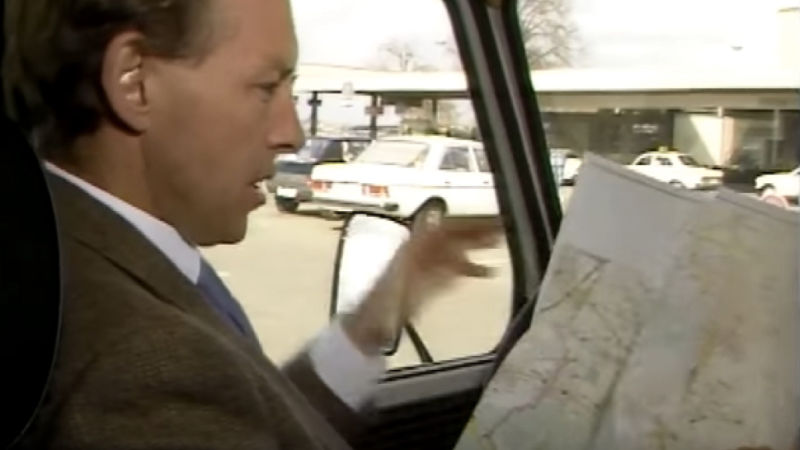
It took decades to get a proper navigation system into cars. The first one you could buy, from Honda, was pretty terrible. But Mercedes had another navigation prototype in the 1980s. It used the power of magnets, and it looks even worse.
http://jalopnik.com/the-first-comm…
Advertisement
Sure, it must’ve seemed like an absolute revelation compared to using a map, but was it? Here’s how you would use it, in steps:
- Do not throw your map out, because you’re still going to need it.
- Look on the map for where it is you are currently. Your map, provided with the car, will (hopefully!) be divided into boxes based on your latitude and longitude.
- Based on that, you’ll get a reference number for your current location, which will tell you what “box” it is in.
- Look up the code number for where you are in a reference book.
- Enter the code number into the prehistoric navigation system.
- Look on the map where it is you would like to go. Your map, provided with the car, will (hopefully!) be divided into boxes based on your latitude and longitude.
- Based on that, you’ll get a reference number for your destination, which will tell you what “box” it is in.
- Look up the code number for where you want to go in a reference book.
- Enter the code number into the prehistoric navigation system.
- Hope that the system of magnets/pulleys/levers/sloths sends all of that information up to the roof, where an additional magnet lies so that it’s not interrupted by all the metal in the engine
- Look at a little screen on the dash. It’ll tell you in which direction your destination is, and how far away you are, but that’s it.
- That’s it!!!!!!! (Presuming, of course, that you didn’t make a wrong turn somewhere, or get stuck in some sort of dystopian hell where you can see your destination, but it’s just across a hedge, and you have no possible way of actually getting there, and also, it’s only got a 97 percent success rate, so three times out of a 100 you’re going to end up in a lake, or in Mexico, or in a Mexican lake, which is nowhere near where you wanted to go in the first place.)
See? Easy as pie. Also, make sure you watch for when the Australian host just craps all over the idea of using satellite triangulation for navigation (which we use today), because it’s “expensive” or whatever.


